"Of all the paths you take in life, make sure a few of them are dirt."

— John Muir

Low Mountain Hiking

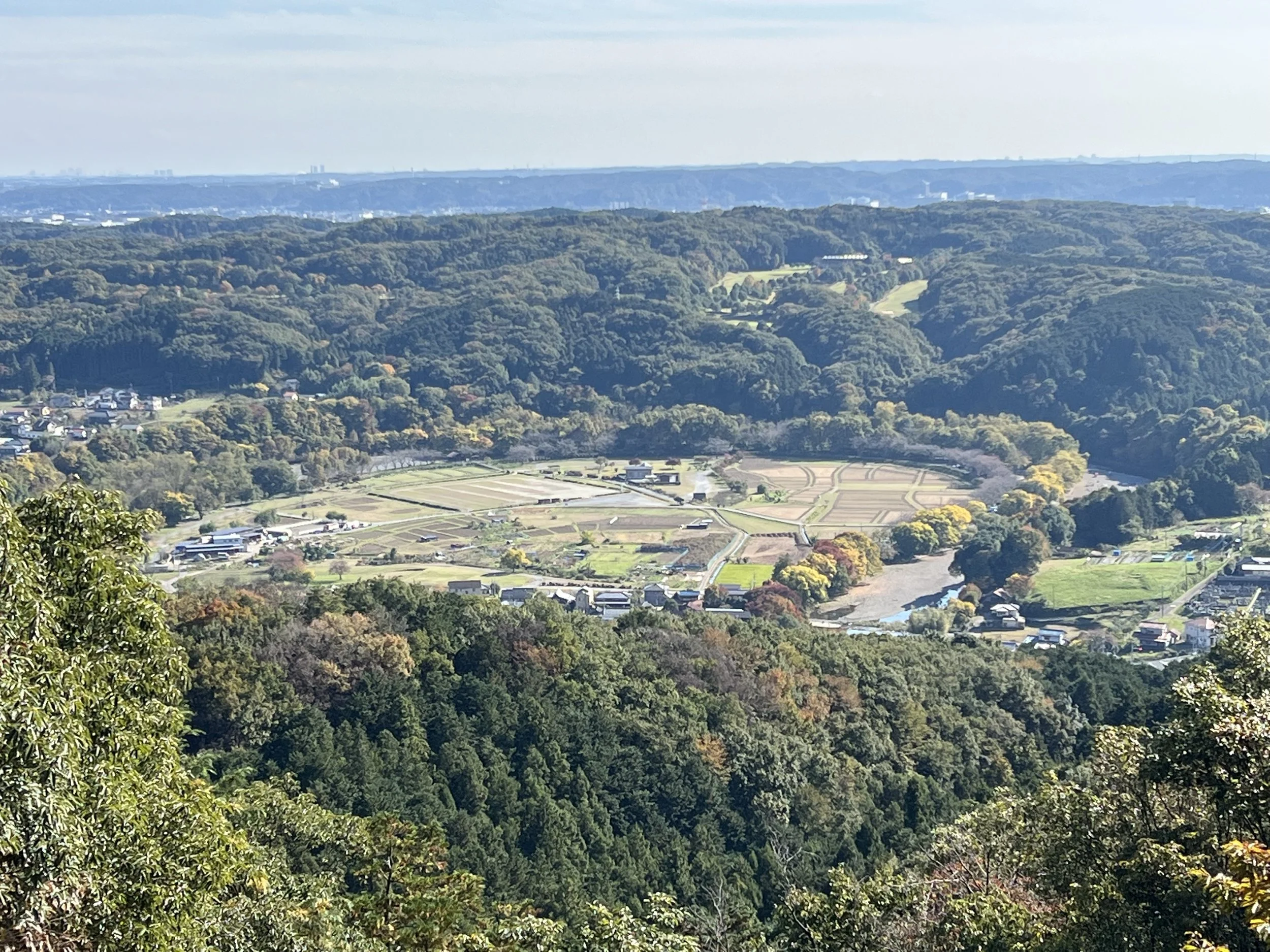
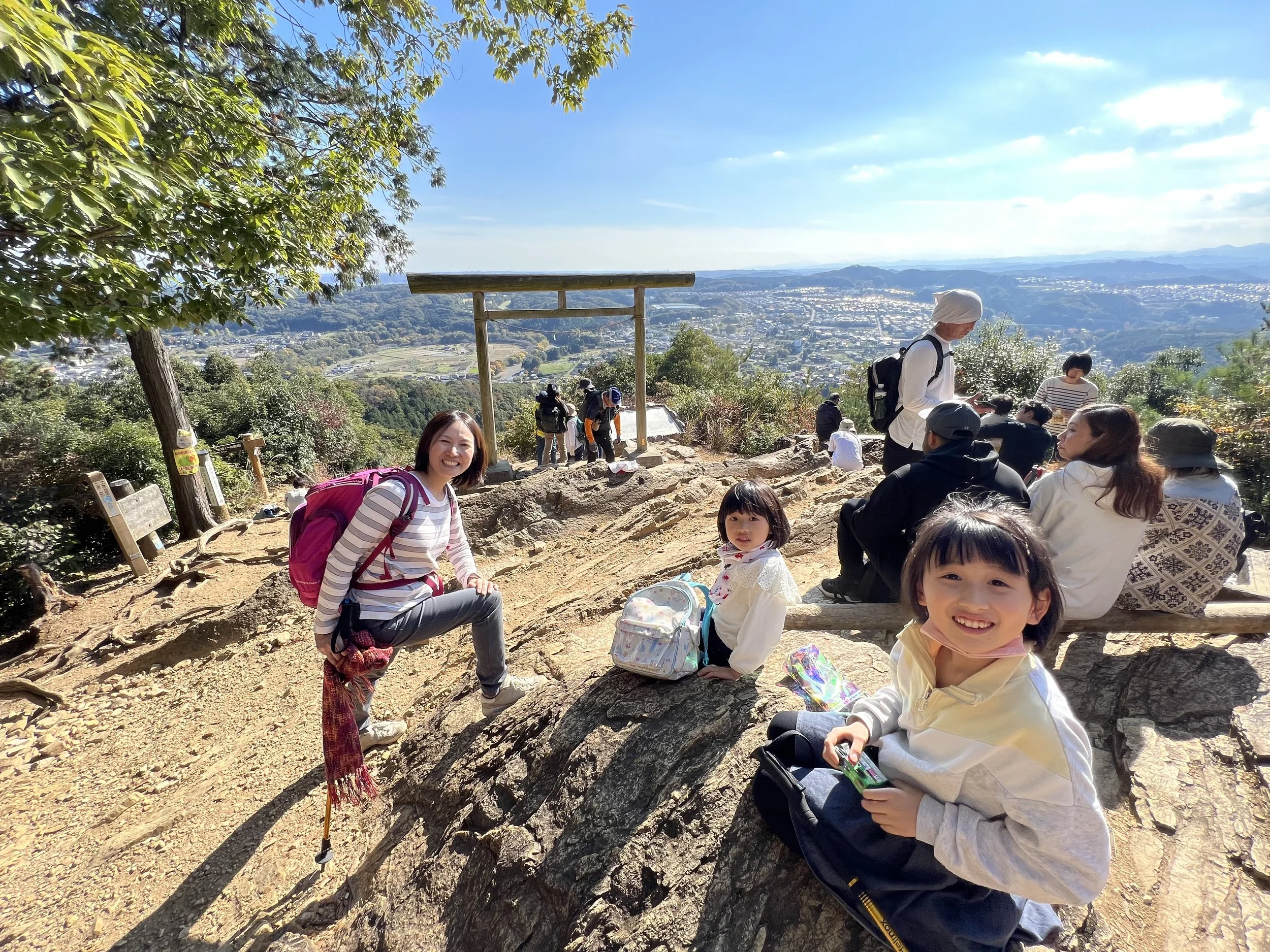
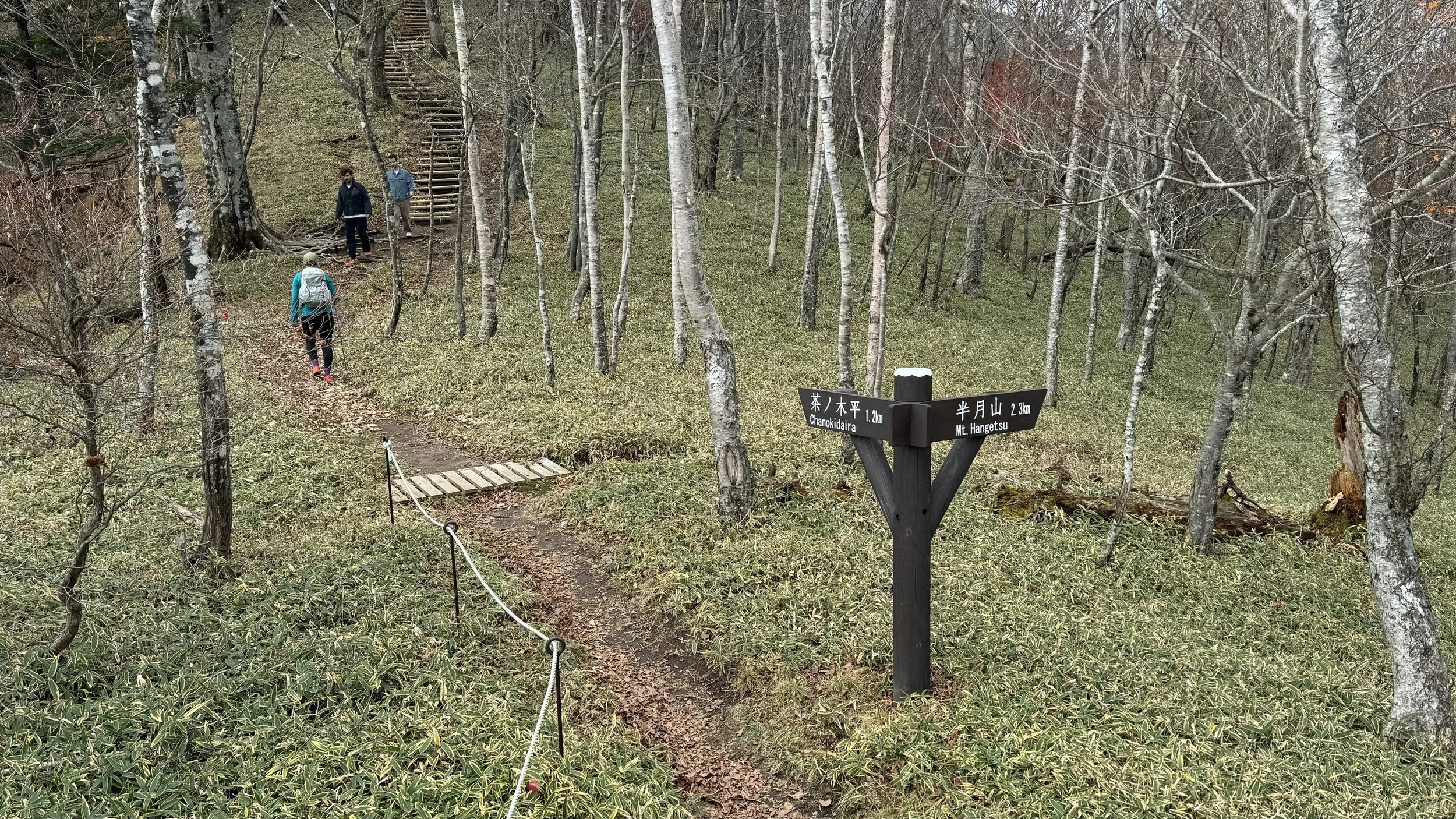
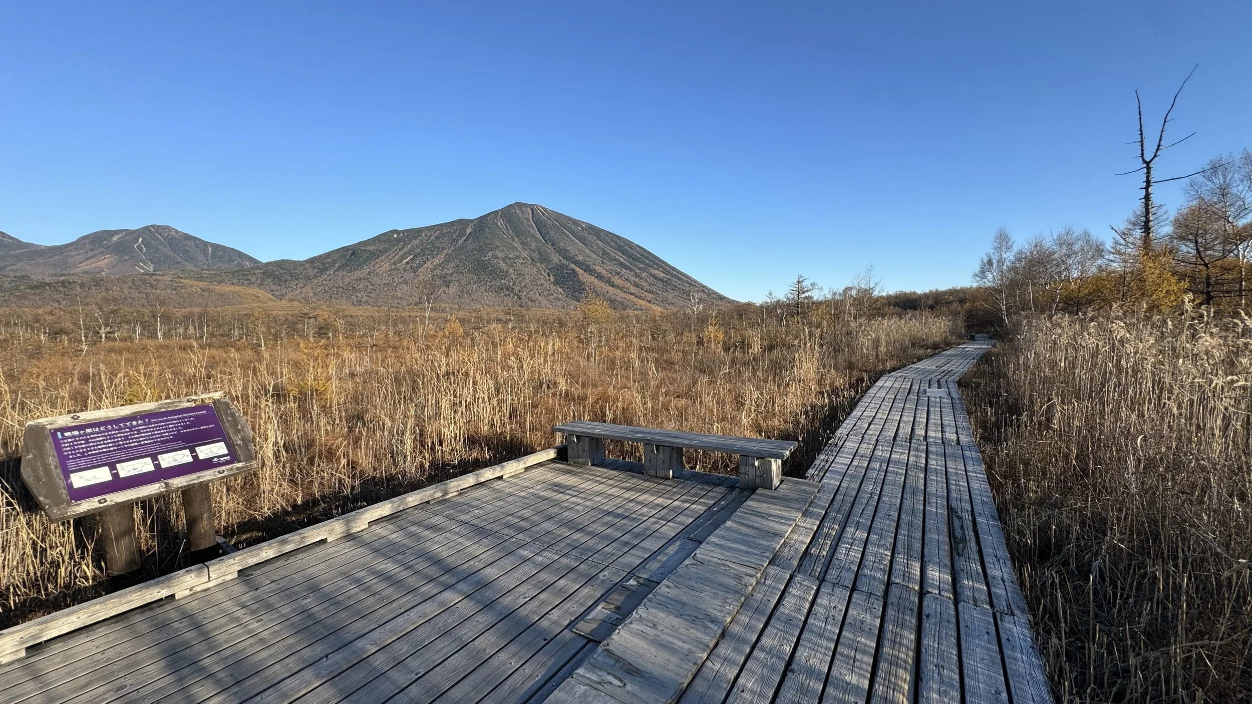
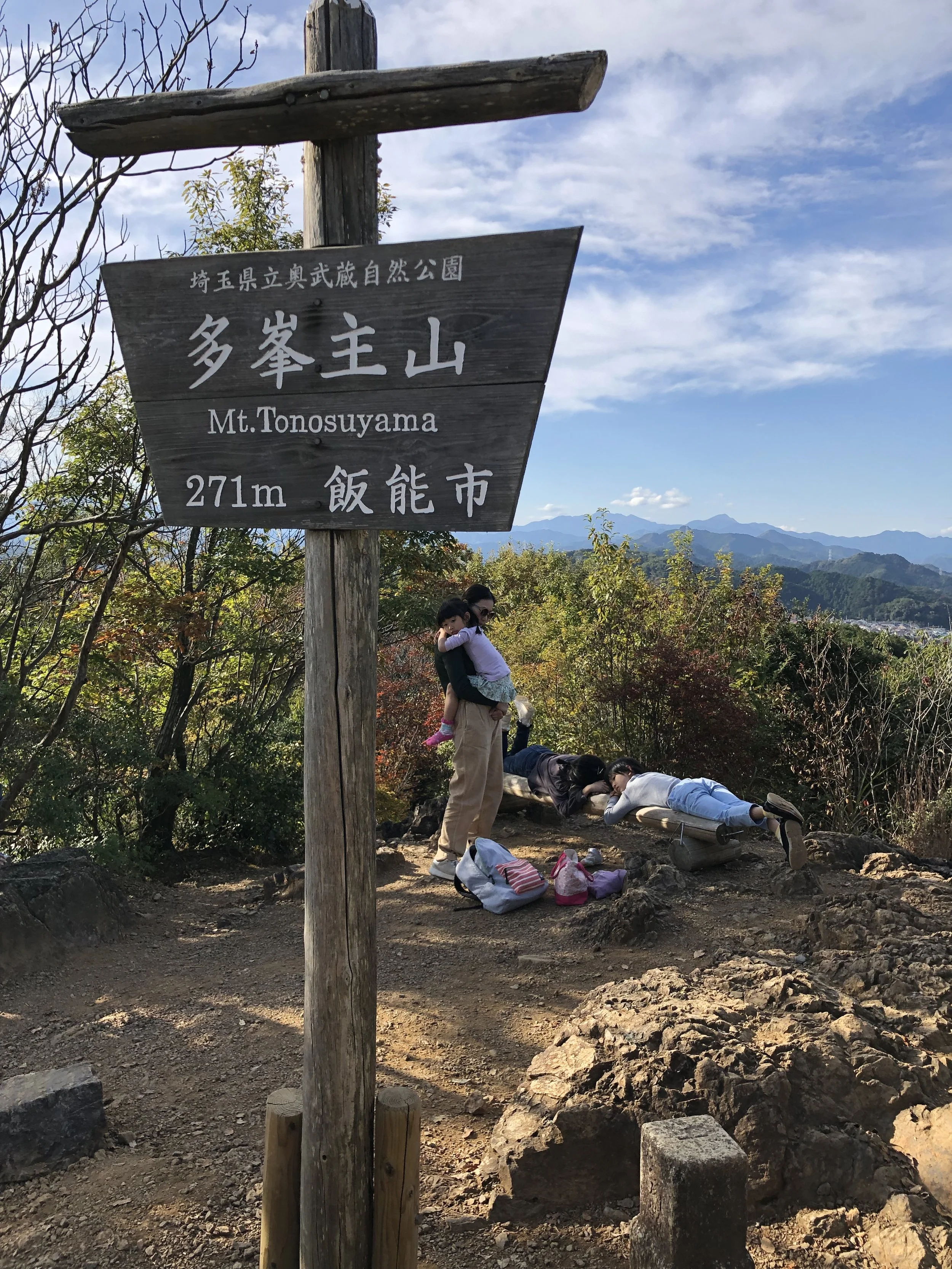
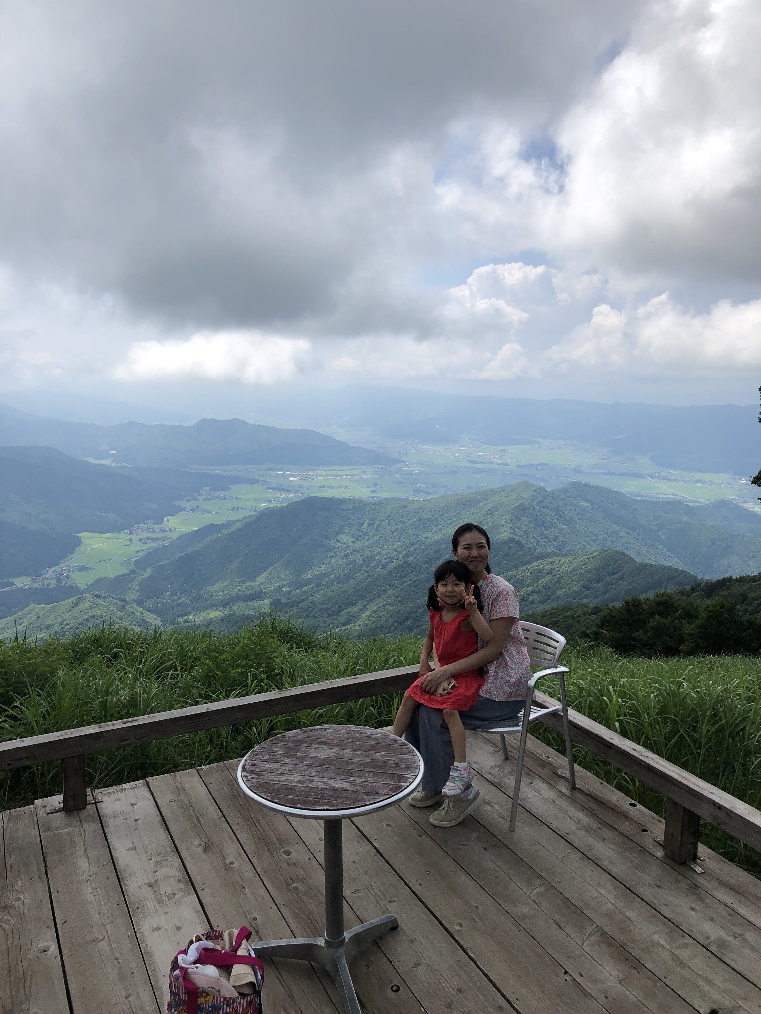
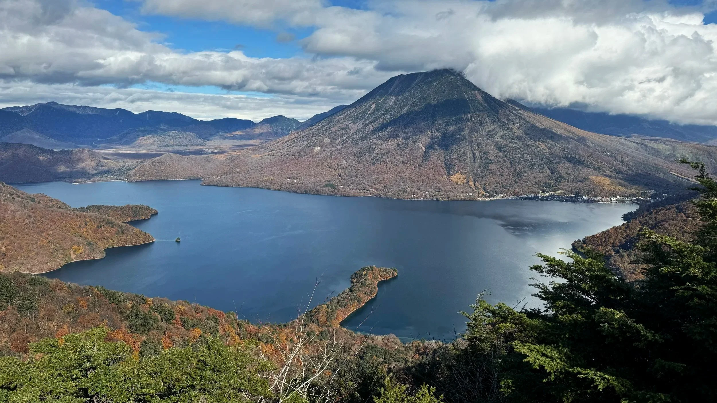
Low mountain hiking has become one of the most quietly popular things to do in Japan. You don't need to be a serious outdoorsperson — within two hours of Tokyo, there are mountains accessible by train or car, climbable in a day, and genuinely beautiful in ways that require no effort to appreciate. Some have ropeways to the summit; others you can drive to the top, or close enough. The mountain decides how you arrive.

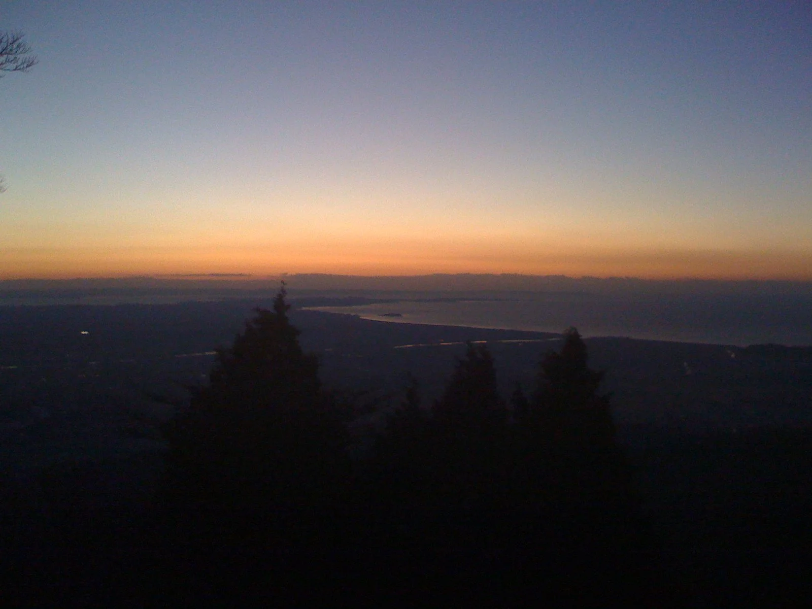
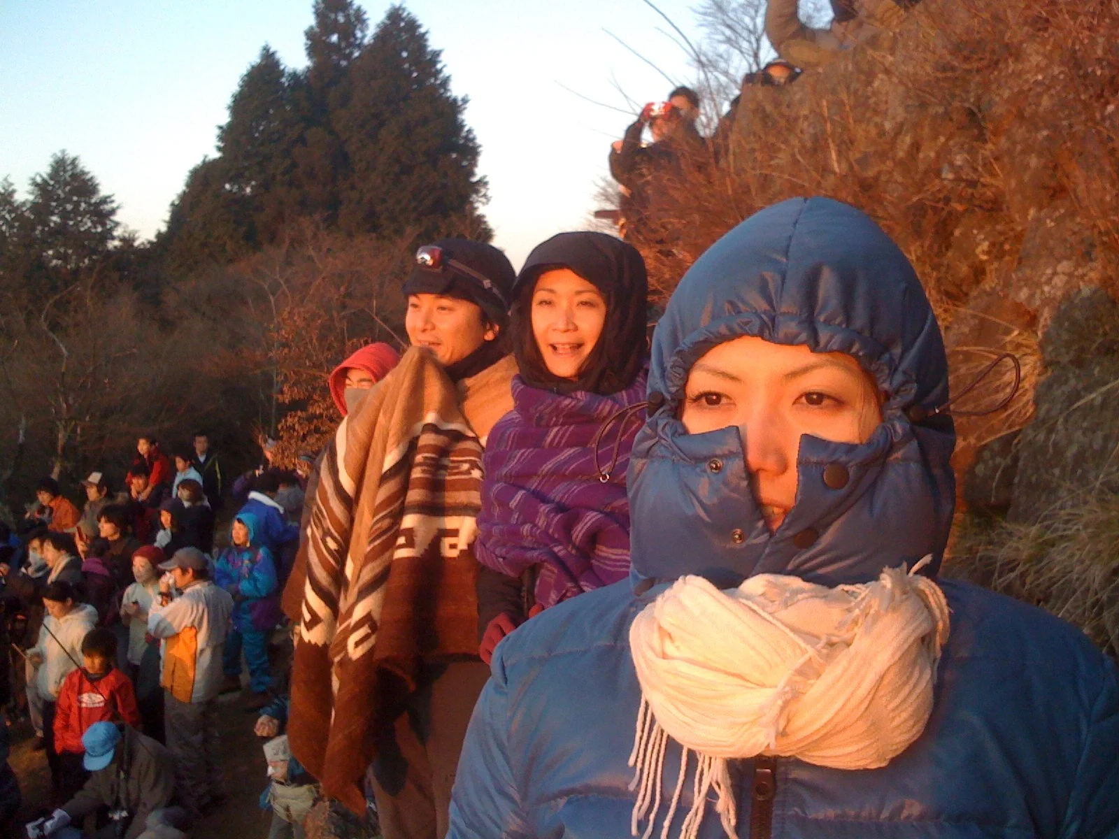
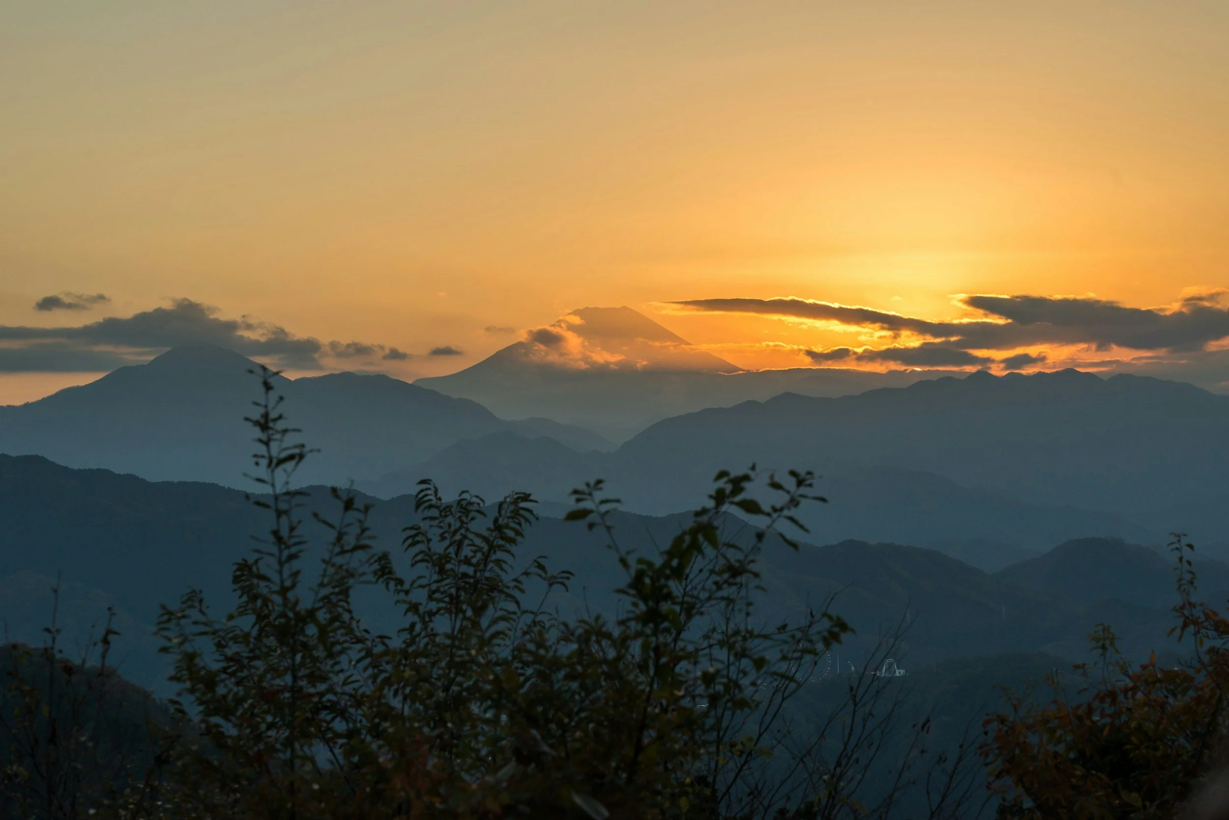
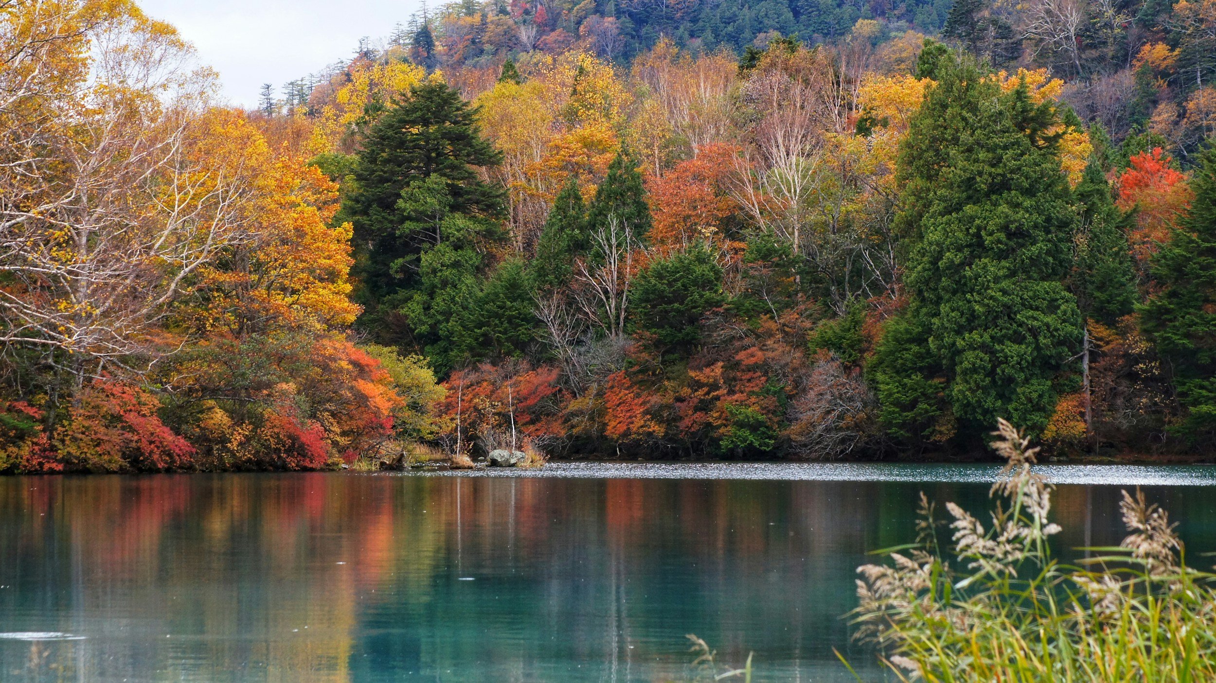
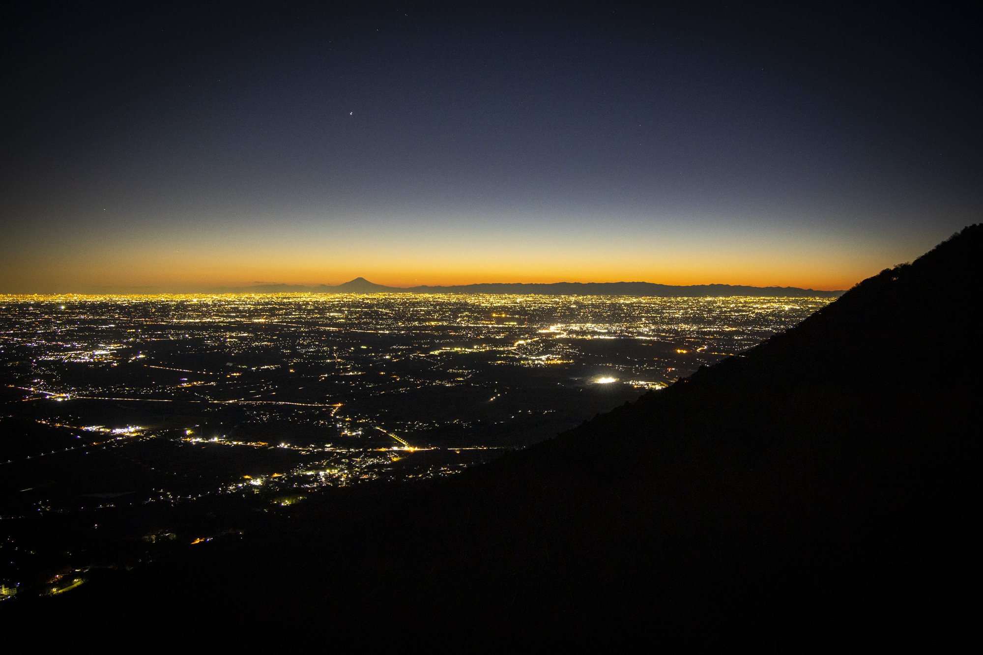
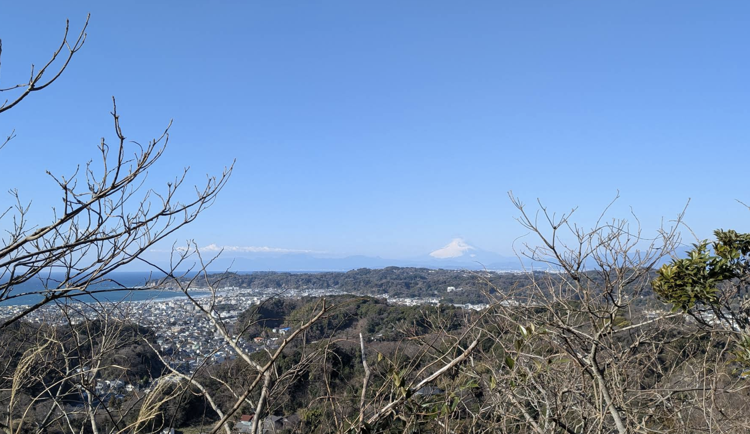
What draws people back, I think, is the view. From even a modest elevation, the world below opens up in a way that is hard to describe until you've seen it — the plain stretching out, the cities small and quiet, the horizon further than you expected. It resets something. And the pace of walking uphill at a comfortable speed turns out to be one of the better environments for conversation — the kind that happens naturally when you're moving, not facing each other across a table.

There's usually good food involved. I keep a running list of places worth stopping — a soba shop at the base, a bakery on the way back, a table with a view if the timing works out. Or we pack lunch and eat at the summit. Either way, the meal tends to taste better than it would have otherwise.

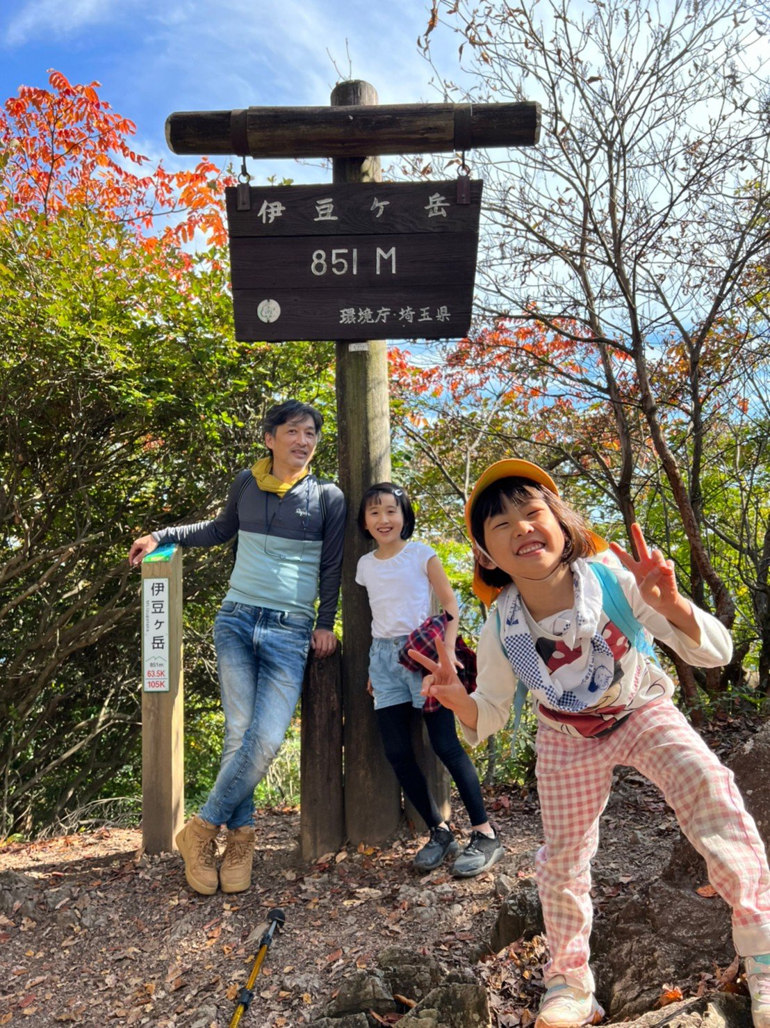
No hiking experience is needed. The mountains I have in mind are chosen for their accessibility, their views, and the quality of the day — not for difficulty.

  • Mt. Oyama

    The view east from the summit of Mt. Oyama, just before first light on New Year's Day. In Japan, watching the first sunrise of the year — hatsu-hinode — carries a quiet sense of good fortune. It's not something everyone does, but enough people do it that mountains within reach of the city fill through the night with hikers who wouldn't ordinarily be there in the dark. On a clear morning from here, you can trace the coastline from the Boso Peninsula across Tokyo Bay to Enoshima, Sagami Bay, and the Izu Peninsula — the entire arc of the Kanto coast, visible at once.

  • Mt. Oyama

    Waiting for sunrise at the summit of Mt. Oyama with friends. The woman in the blue jacket would become my wife 20 months later. Mt. Fuji is clearly visible to the west from here — but at this particular moment, no one was looking that way.

  • Mt. Oyama

    After a night hike and sunrise, the only reasonable thing to do before the drive home. The picnic tables were not designed for this, but they served.

  • Mt. Takao

    Mt. Takao (599m) is the most-visited mountain in the world, which sounds like a reason to avoid it and is actually a reason to think harder about when and how to go.

    From Shinjuku, the trailhead is under an hour on the Keio line. The cable car cuts the steepest section to six minutes, depositing you at mid-mountain where the trail continues past Yakuo-in — a temple complex that has been on this mountain since the 8th century. The summit view on a clear day shows the Tanzawa range and, behind it, Mt. Fuji.

    The best version of Takao is an early start. The mountain rewards that.

  • Mt. Hiwada

    The Koma River makes a near-perfect loop here, depositing sediment on the inside of the bend over centuries until the land took on the rounded shape it has today. The Japanese name — Kinchakuda, meaning "drawstring pouch field" — comes from exactly this shape, best seen from Mt. Hiwada above. In autumn, the field fills with five million spider lilies. Mt. Hiwada is one of those mountains that becomes a family habit — an hour from Tokyo, and manageable enough that children reach the summit in 40 minutes.

  • Mt. Hiwada

    The route splits just below the summit — the steeper path is called otokozaka (men's slope), the gentler one onnazaka (women's slope). I have never taken the men's slope. My family has voted against it every time, and I have yet to win that argument. The torii gate at the top marks the boundary of the shrine grounds. For my daughters, stopping at the convenience store on the way to pick out their own snack is as much a part of the trip as the mountain itself.

  • Mt. Hiwada

    The Japanese name is higanbana — literally "flower of the autumn equinox." The timing is exact: they bloom every year in the week around the September equinox, which in Japan is o-higan, a Buddhist observance when families visit ancestral graves. The association with death runs deep enough that you won't find these flowers in a Japanese florist's window. None of that is visible in a field like this one. What is visible is five million of them, under trees, in the kind of light that makes you stop walking.

  • Mt. Hangetsu

    Lake Chuzenji sits in the caldera of Mt. Nantai, which rises behind it still partially cloud-covered in this photograph. The viewing point is Hangetsu-yama — accessible from a roadside parking area in twenty minutes on foot, or in just over an hour from the lakeshore below. On a clear day in autumn, the lake takes on a color that has no good English equivalent. A day trip from Tokyo is entirely practical: leave early, hike or fish through the morning, stop at the Nikko Toshogu shrine or find an onsen in the afternoon, and be back in the city by evening.

  • Senjogahara

    Senjogahara — "the battlefield plain" — takes its name from a legend recorded as far back as the Kamakura period. According to the story, the god of Mt. Nantai and the god of Mt. Akagi quarreled over ownership of Lake Chuzenji, transforming themselves into a great serpent and a giant centipede to fight across this marshland. Mt. Nantai's god won. The plain kept the name.

    What you actually find here is 400 hectares of protected wetland at 1,400 meters elevation, registered under the Ramsar Convention and home to over 350 plant species. A well-maintained boardwalk trail runs the length of it — flat, easy walking, the kind where you can look up instead of down.

  • Lake Chuzenji

    Lake Chuzenji sits at 1,269 meters — high enough that autumn arrives here weeks before it reaches Tokyo.

    A trail runs along the northern shore from the wetlands of Senjogahara down to the lakeside, connecting the two in a half-day walk.

    The lake had no fish at all until late 19th century, when Western diplomats and businessmen began building summer retreats along the shore. Trout were imported and stocked to give them something to do on weekends. The fish stayed, established themselves, and the lake is now one of the better stillwater fisheries in the Kanto region — a consequence that nobody at the time was particularly thinking about.

  • Mt. Tonosu

    Hanno is about an hour from central Tokyo — which puts it within easy reach for a morning start and a comfortable return before dark.

    Mt. Tenranzan (195m) is twenty minutes from the station on foot. The name dates from the Meiji era, when the Emperor climbed it — tenran meaning an imperial viewing. From the summit there is an observation deck with views across Hanno and, on a clear day, Mt. Fuji. A trail from the back of the peak leads directly to Mt. Tonosu (271m), where the summit opens into a wide panoramic view of the Chichibu range. The two mountains together make a two-hour circuit that returns to the station. Novice hikers, families with children, people who have not hiked before — this is the right place to start.

  • Ishiuchi-Maruyama

    Ishiuchi Maruyama is one of the larger ski resorts along the Kan-etsu Expressway, about two hours from Tokyo. The valley below is Minami-Uonuma — the district that produces what is widely considered the finest Koshihikari rice in Japan. The same water and cold air that make the rice exceptional also make the sake. If you drink sake, this is a region worth paying attention to. In the town of Shiozawa, there is a sake shop called Kanazawaya — the owner selects with real care, and stocks local breweries like Kakurei and Takachiyo in ways you won't find elsewhere. Worth a stop.

    In summer, the resort operates The Veranda — a terrace café at mid-mountain, reached by gondola in seven minutes. On weekend evenings through the summer, the terrace stays open after dark — sunset, then the city lights below, and fireworks.

  • Mt. Hakkai

    The mountain has been sacred ground for over a thousand years, and the water that comes off it is the same water the brewery has used since it was founded. The name means 'eight-sea mountain,' after the eight peaks of its upper ridge.

    The ropeway takes seven minutes and rises 771 meters. From the observation deck at the top station, the Minami-Uonuma valley opens out below — rice paddies, the river, the city small and quiet in the distance. On a clear day, you can see the Japan Sea and Sado Island.

    For those who want more, there is a hiking trail continuing up from the ropeway station toward the summit ridge. The upper mountain — with its chain-assisted rock faces and exposed ridgeline — is serious climbing. The view from the terrace, on the other hand, requires nothing more than seven minutes in a gondola.

  • Mt. Tsukuba

    Tsukuba has two peaks — Mt. Nantai (871m) and Mt. Nyotai (877m), the male and female — each served by its own cable car or ropeway. You can hike up one side and ride down the other, or skip the hiking entirely. The mountain accommodates all of this.

    The view from the female peak opens over the entire Kanto Plain. During the day: Tokyo to the southwest, the Pacific to the east, Kasumigaura glinting to the south. As the light goes, the plain slowly fills with the lights of the cities below. On a clear evening, the silhouette of Mt. Fuji holds the horizon long after the sun has dropped behind it — a thin dark shape above a band of orange, with the Kanto spread out underneath.

  • Mt. Kinubari

    Kamakura is ringed by low hills, and the hills have trails. Most visitors don't cross them.

    Mt. Kinubariyama takes its name from a story about the shogun Minamoto no Yoritomo, who — according to legend — draped white cloth across the mountain on a summer's day to create the appearance of snow, for his wife who had asked to see it. The name has stayed.

    The summit looks out over the town of Kamakura, the coast, and on a clear day, Mt. Fuji. The trail connects to Kita-Kamakura, where Engaku-ji sits at the northern end of the walk. Two hours, through mixed forest, between two things worth seeing.

    Kamakura is an hour from Tokyo by train. The hiking is the part most people skip.

  • Kamikochi

    Kamikochi is a glacial valley in the Northern Alps of Nagano Prefecture, closed to private vehicles and open only between late April and mid-November. The Azusa River runs clear through the valley floor, and the peaks above — some rising above 3,000 meters — are present in the landscape in a way that is difficult to prepare for.

    The walking here is not difficult. The main trail follows the river from Taisho Pond to Myojin Bridge, mostly flat through old forest, and takes a few hours at an easy pace. The scenery does not require effort to find — it is simply there, in every direction.

    Kamikochi draws visitors throughout the season, and on busy days the valley can feel more crowded than the mountains around it suggest it should be. School trips arrive in groups. The trails narrow. That particular stillness that alpine places are supposed to have goes somewhere else for a while. Timing matters — early morning, weekdays, or the quieter shoulder weeks of the season tend to give back what the crowds take away.

Previous
Previous

Fly Fishing

Next
Next

Cycling