"It is by riding a bicycle that you learn the contours of a country best."
— Ernest Hemingway
Cycling
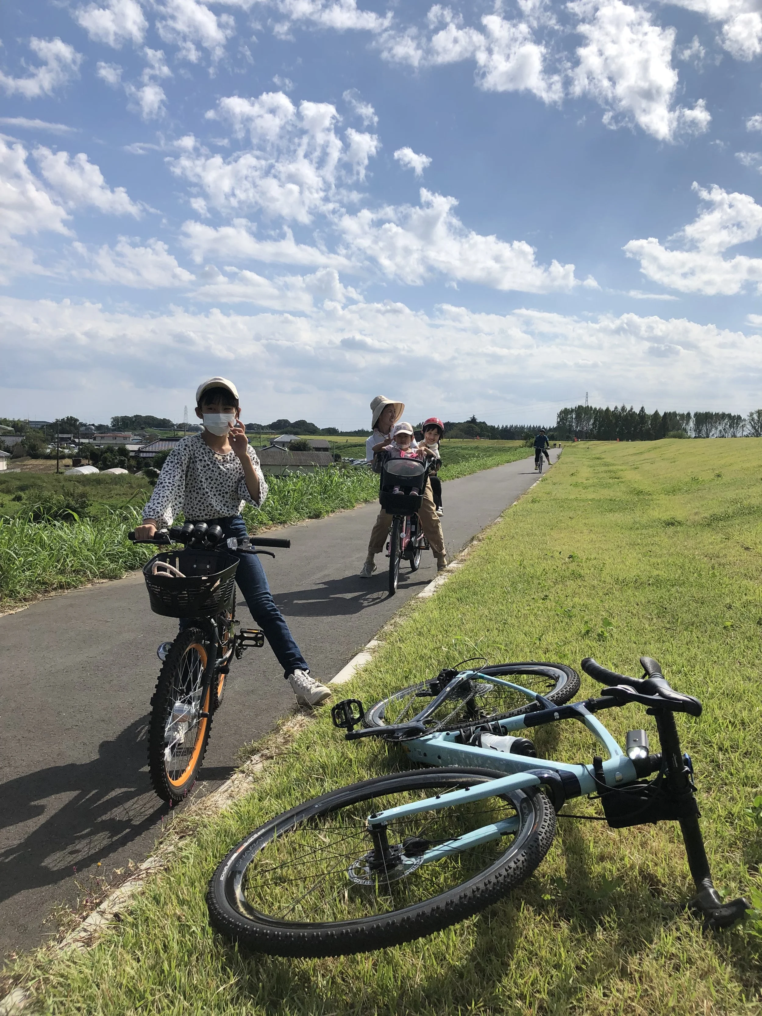
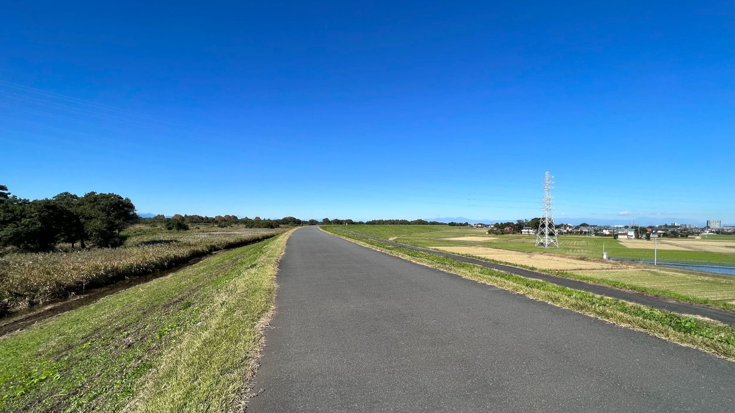
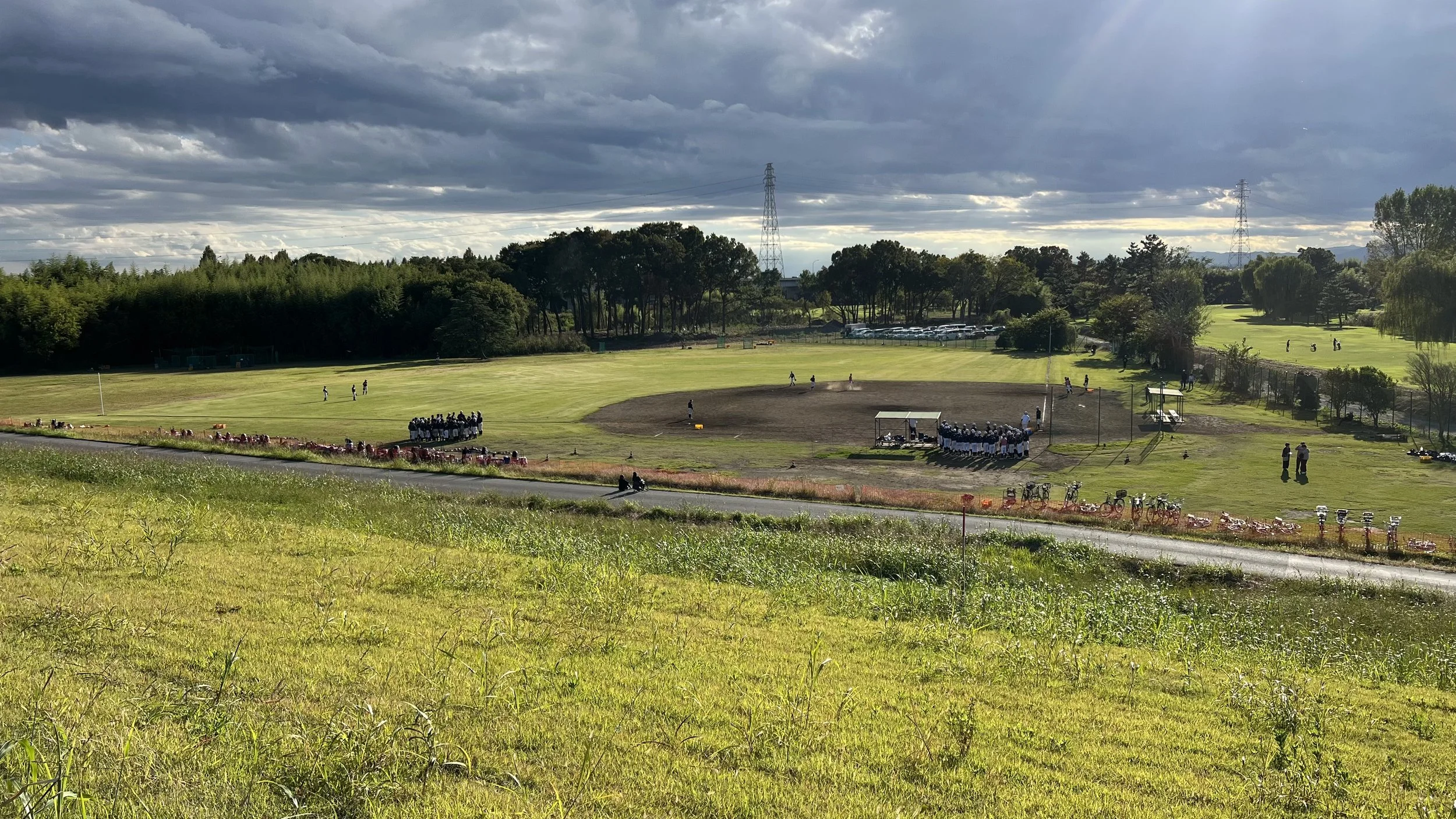
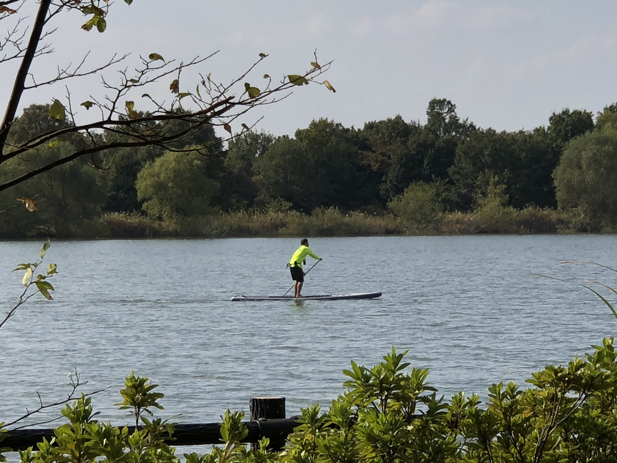
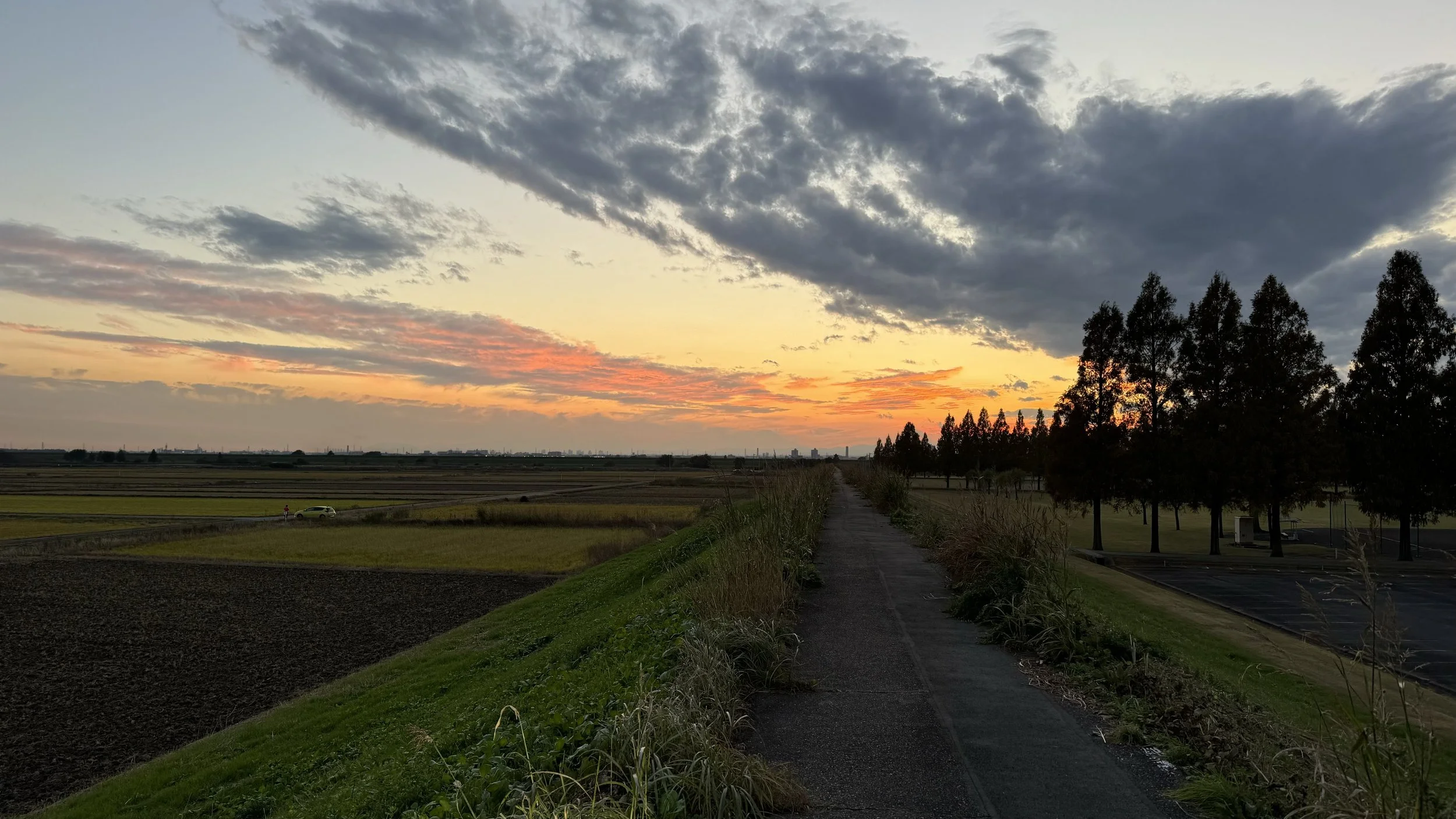
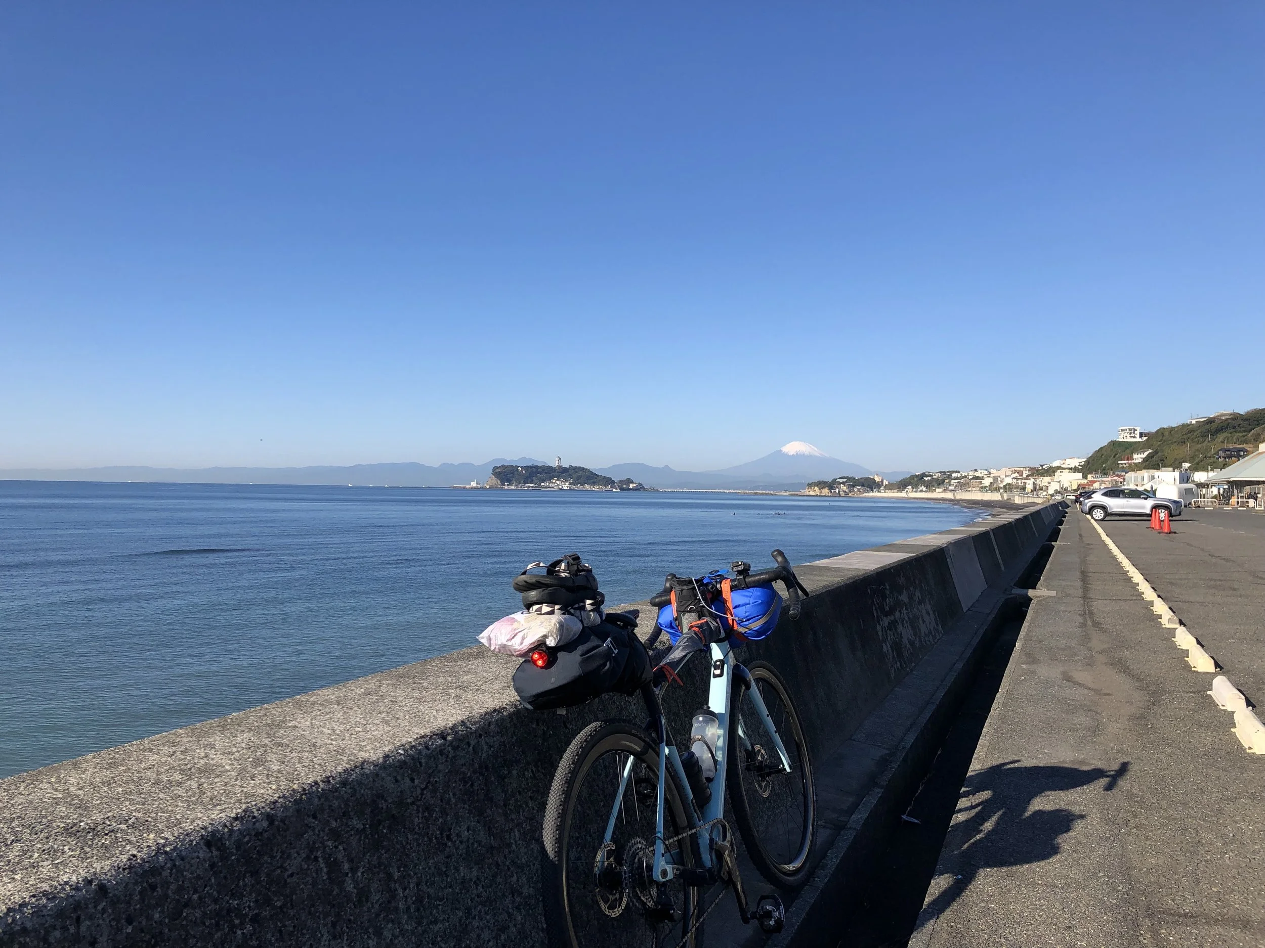
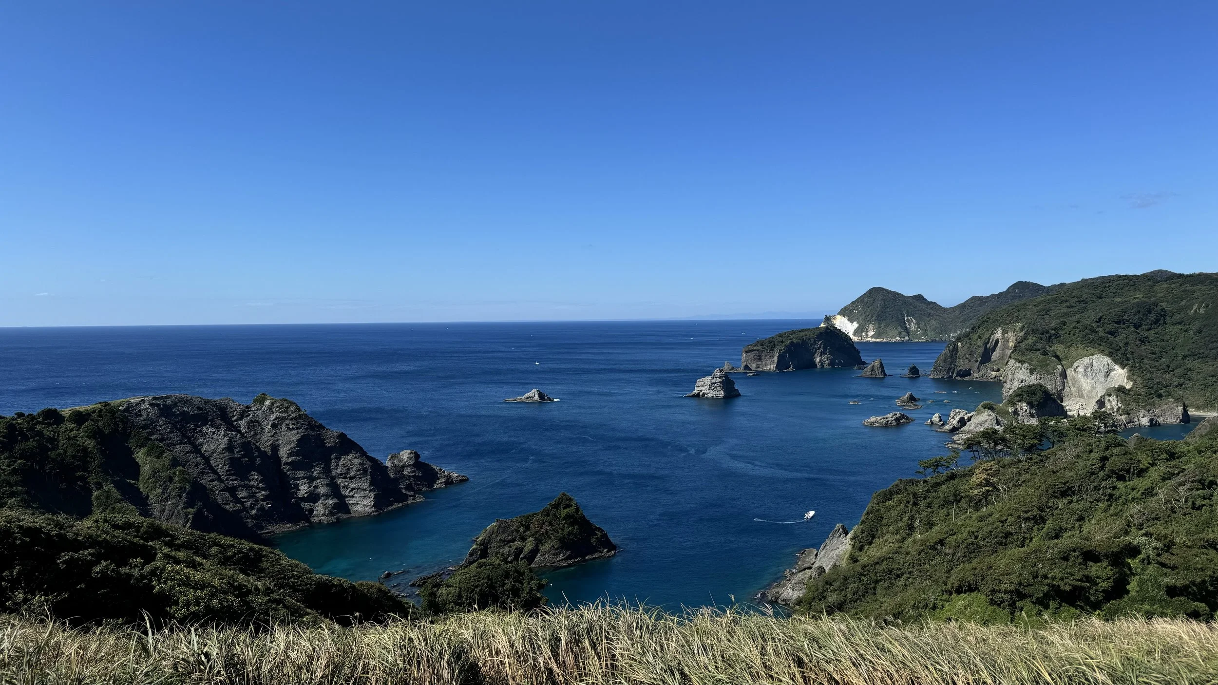
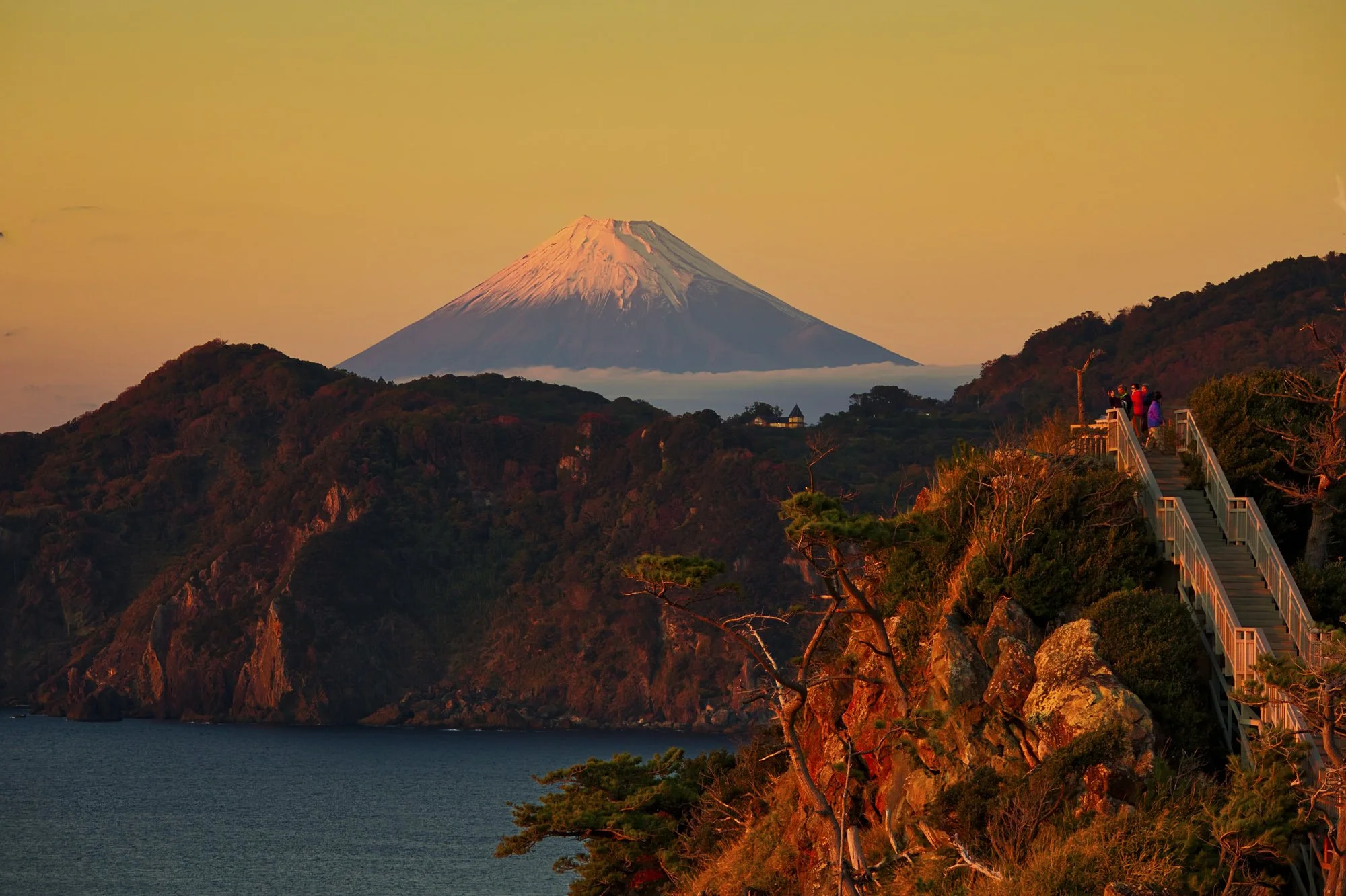
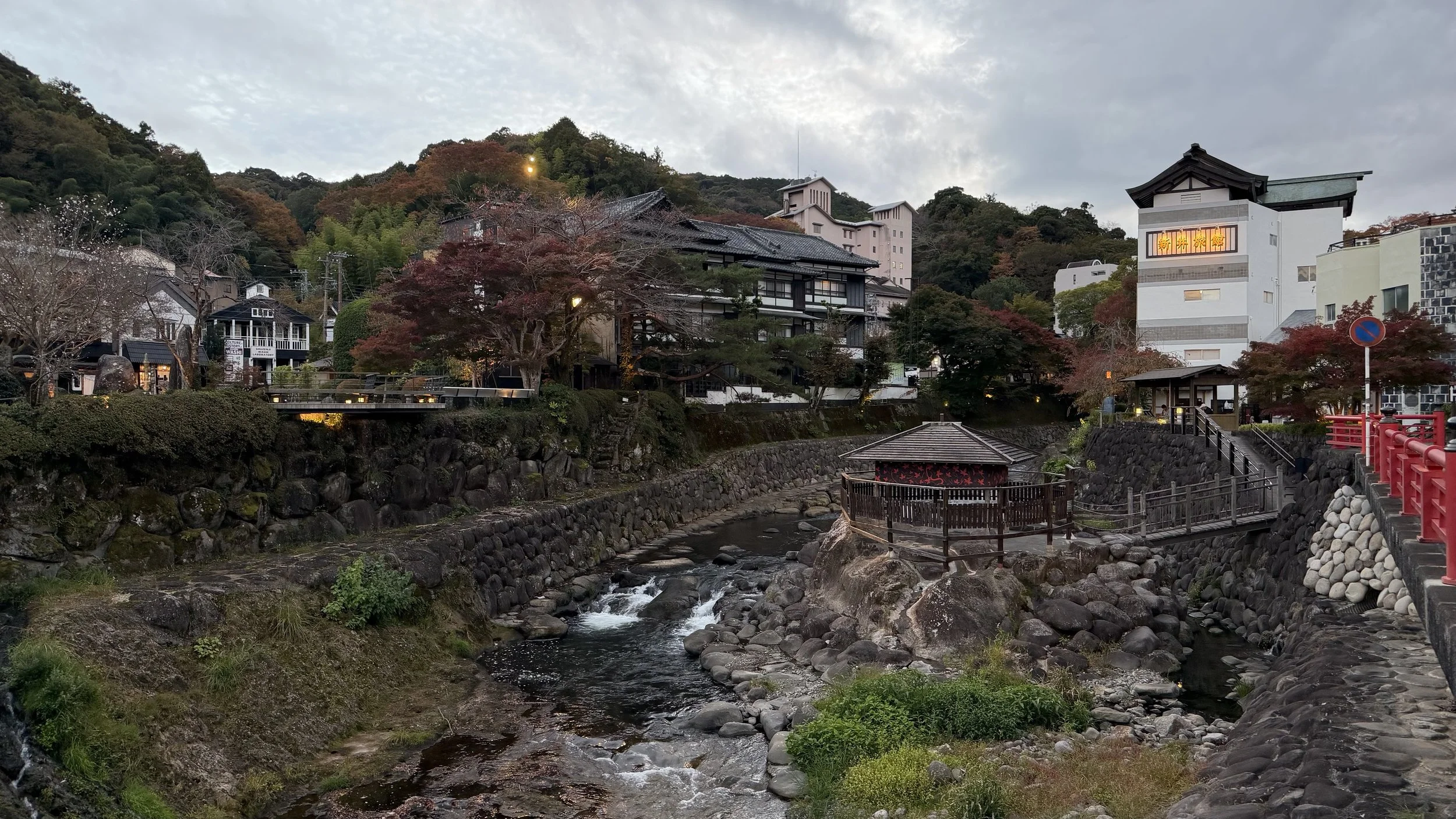
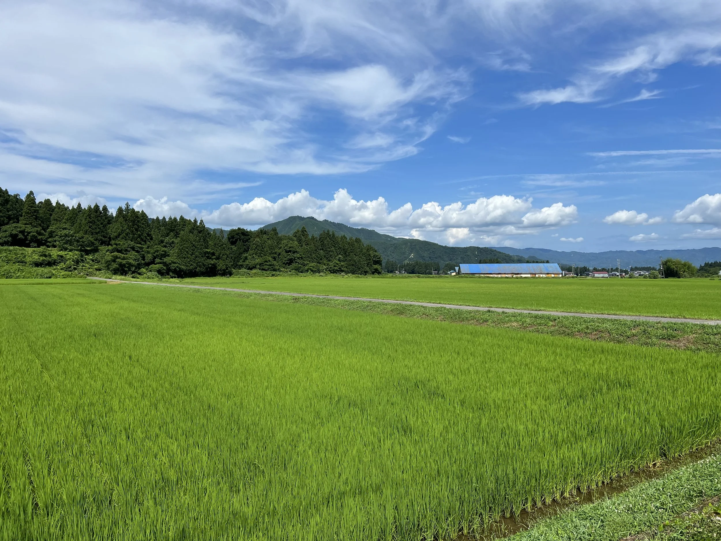
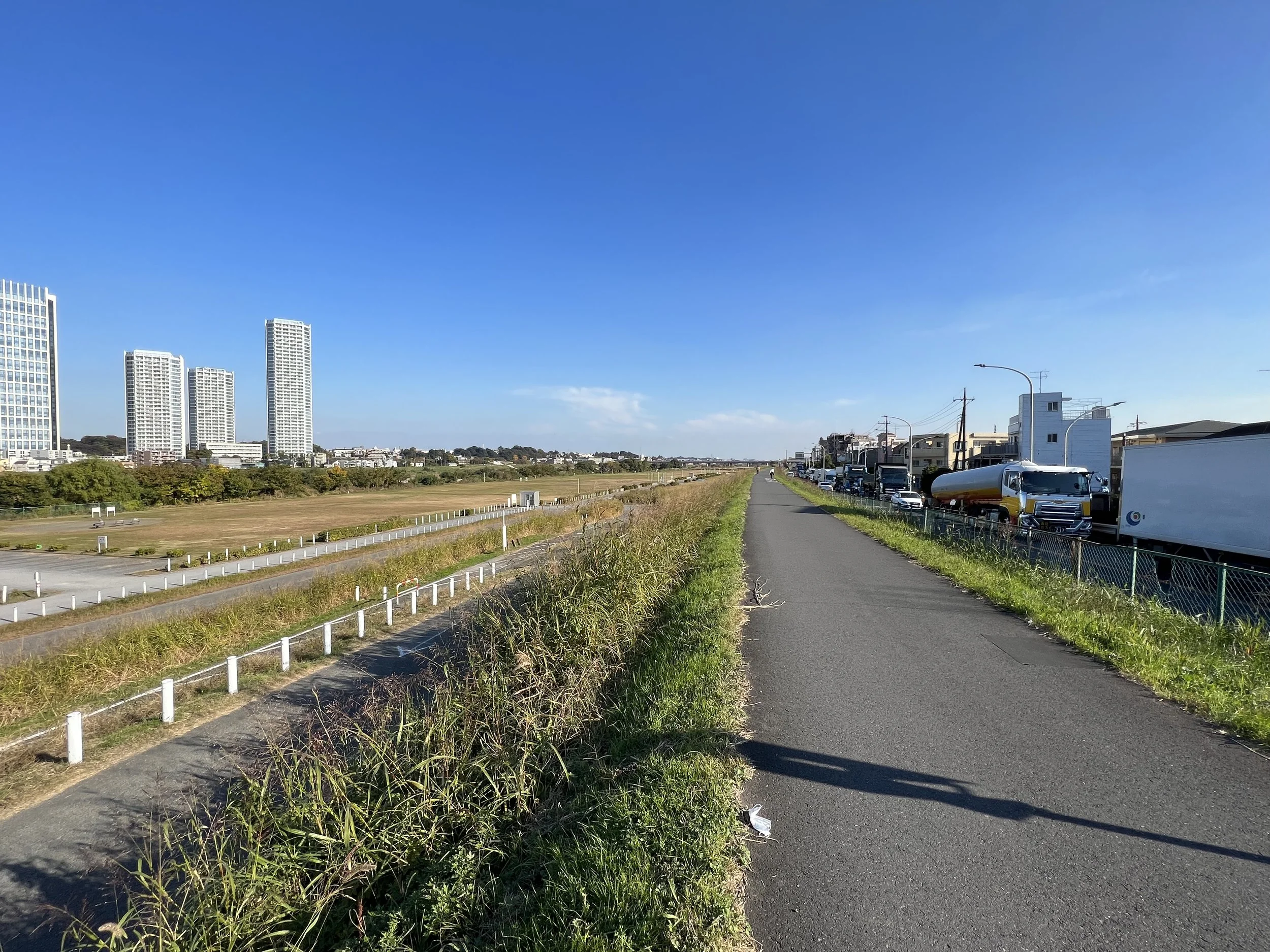
Cycling in Japan rewards the person who is willing to leave the main road.
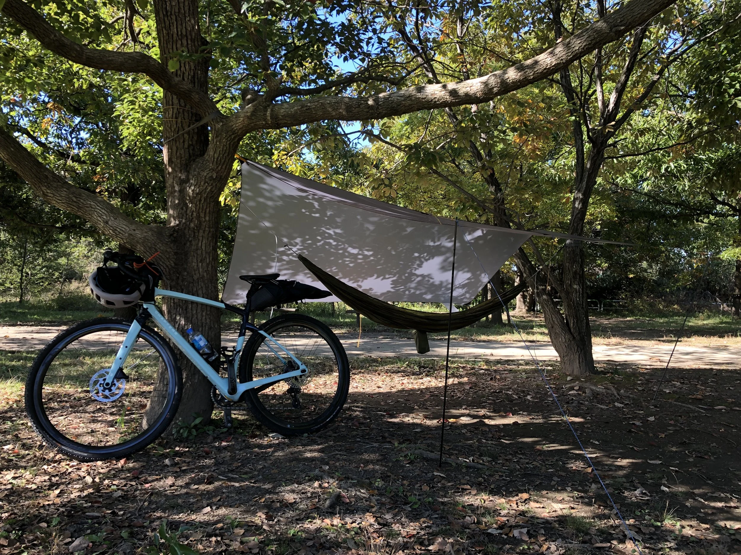
The routes I ride follow river paths, forest tracks, and the kind of farm lanes that don't appear on tourist maps — places where the pace slows down enough to notice things. A cluster of persimmons drying outside a farmhouse. A shrine at the end of a dirt road. A good spot under a tree where a hammock fits between two branches and there's no particular reason to move for a while.
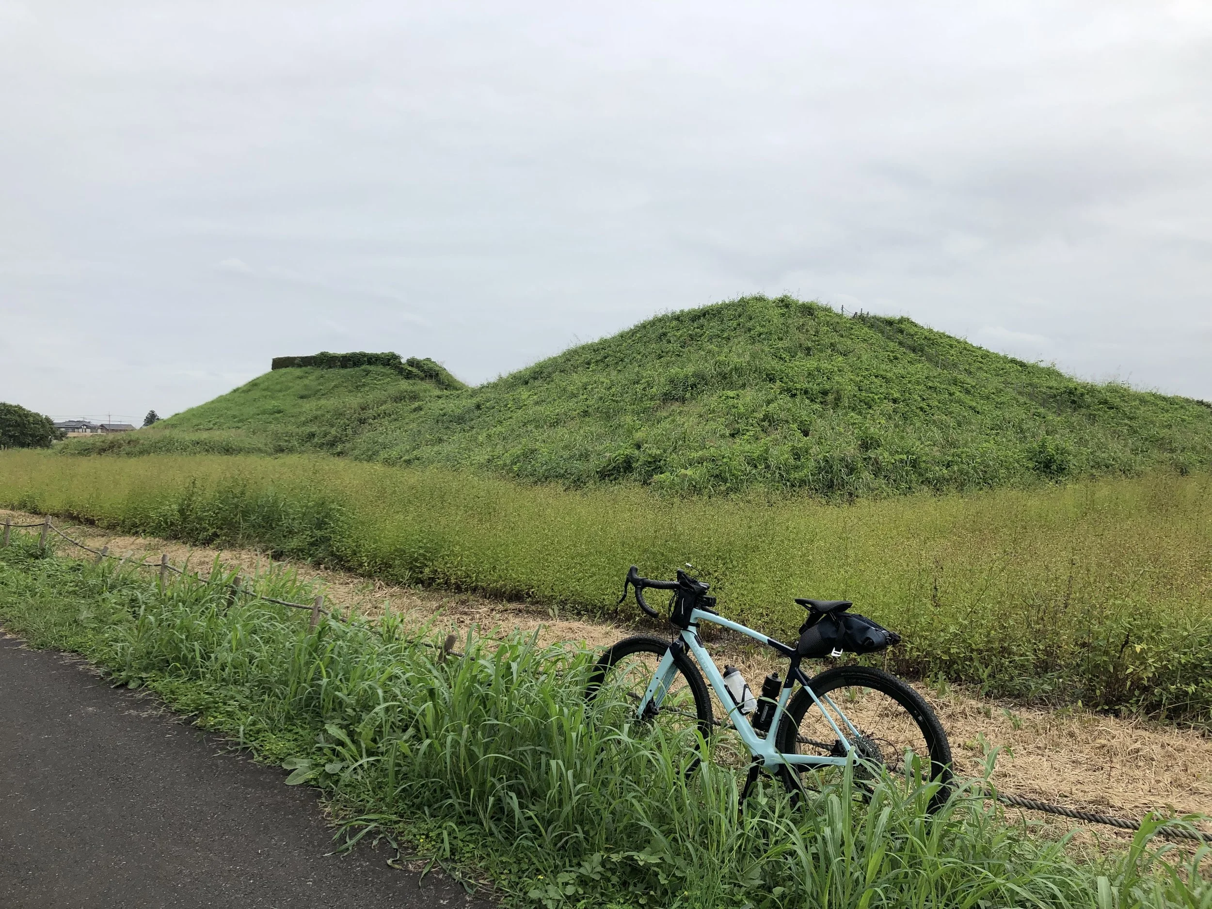
I ride gravel. The roads I prefer are unpaved or lightly paved, passing through satoyama countryside and along riverbanks, occasionally climbing into the hills. Some days are flat and easy; others have more elevation. The route depends on who's coming and what kind of day makes sense.
A note on bikes: I'll be riding my own. If you need a bicycle for the day, rental arrangements can be made in advance — just let me know when you get in touch.
-
Arakawa Cycling Path
The Arakawa cycling path runs along the river embankment through the heart of the Kanto Plain — north toward the mountains, or south toward the Tokyo bay. No traffic, no intersections, just the river and whatever the day brings.
-
Arakawa Cycling Path
This is the route I ride from home. The embankment has its own world running alongside it: baseball teams warming up on the grass, someone practicing trumpet into the open air, a group of retirees racing handbuilt model yachts on a reservoir, SUP paddlers working upstream against the current. Nobody is there for quite the same reason, and nobody seems to notice anyone else.
-
Arakawa Cycling Path
Sometimes the best thing to do is stop pedaling. The people along this river tend to be happy to talk — about their yachts, their instruments, whatever it is they're out here doing. Those conversations are part of the ride.
-
Arakawa Cycling Path
…bass fishermen drifting in flat-bottomed boats along the bank…
-
Arakawa Cycling Path
A SUP paddler on the reservoir at Saiko-Doman Green Park — one of several spots along the Arakawa where the cycling path opens into a proper park. A loop trail runs around the water's edge for cycling and jogging. On weekends, the day-camping area fills up with families and the smell of charcoal drifts across from the BBQ pits. It's a good place to stop.
-
Arakawa Cycling Path
The embankment path runs straight to the horizon, open on both sides. Living in a city like Tokyo, you forget how big the sky can be. Out here, it comes back to you.
-
Toki River
The ride starts on the Arakawa cycling path and gradually leaves the city behind. By the time you reach the Tokigawa valley, the Chichibu mountains are ahead of you and the roads have gone quiet — rice fields, cedar forest, the occasional farmhouse.
The destination is the onsen. There are a few along this route, and a couple of soba restaurants worth stopping for on the way. Arriving at a hot spring on a bicycle — tired legs, the smell of clean water — is a different experience from arriving by car. The meal after tends to taste better too.
-
Sakitama Kofun Cluster
One of the most significant burial mound groups in Japan, dating back to the late 5th to early 7th centuries.
Unlike many other kofun sites in Japan, you can actually climb some of the mounds, such as the Maruyama Kofun, to get a panoramic view of the surrounding landscape.
-
Musashi Kyuryo Forest Park
Musashi Kyuryo Forest Park — known simply as Shinrin Koen — is one of the largest parks in the Kanto region, covering an area equivalent to 65 Tokyo Domes. The park has its own 17-kilometer cycling course running through forest and open meadow, with enough gentle climbing to make it interesting without being punishing. You can bring your own bike or rent one at any of the park's four entrance gates.
The park sits about 50 kilometers northwest of central Tokyo, reachable by train on the Tojo Line or by bicycle via the Arakawa cycling road. We sometimes use it as a destination on longer rides out of the city — a place to arrive at, eat lunch in the shade, and decide whether to ride home or take the train.
-
Shonan Coast
The Shonan coastline runs along Sagami Bay southwest of Tokyo — a stretch of road where the ocean is almost always in view and Mt. Fuji appears and disappears depending on the weather and the curve of the road.
On a clear winter morning, the mountain sits above the water with the kind of clarity that makes you stop pedaling. Enoshima rises from the bay to the east — island, lighthouse, bridge — and the whole scene looks almost too composed to be real.
The coast changes character through the day. In the afternoon the light flattens. By evening it comes back differently — the sun drops behind the Izu Peninsula and the water turns colors that don't have straightforward names. It's worth timing a ride to be somewhere along this stretch at dusk.
-
Izu Peninsula
The Izu Peninsula is what happens when mountains meet the Pacific — a jagged coastline, narrow roads cut into cliffsides, and views that open and close with every turn. An American friend who lives in Japan and has ridden extensively calls it one of the finest cycling destinations in the world. He doesn't say it casually.
Getting there requires some planning — by shinkansen or by car with the bikes loaded. A day trip allows for a partial route, which is often enough. The full circumnavigation of the peninsula, the Izuichi, is a multi-day undertaking and should be treated as one. But the coast is only part of what Izu has to offer. There are valleys, mountain roads, and interior routes that most cyclists never find — each one a different version of the same peninsula.
-
Izu Peninsula
The western coast has the best views of Mt. Fuji, but only when riding north with the mountain ahead. The coastal roads are relentless with short climbs and short descents, repeated for hours. Into a headwind, this becomes a different kind of ride. The cycling lanes exist but narrow in places, and there are tunnels where trucks pass close. None of this is a reason to avoid it. It is a reason to pay attention.
For those who want to explore Izu properly, Backroads runs a tour that spends three nights on the peninsula, covering a different area each day. It's the right amount of time, with the right structure. If that interests you, join the tour — and we'll meet there.
-
Izu Peninsula
Shuzenji sits in a valley in the center of the Izu Peninsula, where the Katsura River runs through a small temple town that has been drawing people to its hot springs for over a thousand years. It's a natural place to stop — or to base yourself for a day.
The town itself is worth the time off the bike. A bamboo grove runs along the river, there are a handful of old temples, and the onsen here are the kind that justify the ride. The streets are narrow and quiet in the early morning, before the tour buses arrive.
-
Izu Peninsula
Shirahama beach, on the eastern tip of the Izu Peninsula. On a windy day, the water fills with windsurfers — sails catching the light, the whole bay in motion. On the horizon, the outline of Oshima island sits against the sky. Oshima is a volcanic island about 100 kilometers offshore; on a clear day it appears closer than that, as if it had drifted in overnight.
-
Minami-Uonuma
Minami-Uonuma, Niigata — rice country. In summer the heat sits heavy on the valley, but the paddies stretch in every direction and when the wind moves through, the whole field moves with it — and a moment later, so do you.
This is too far to ride from Tokyo directly — a few mountain ranges stand in the way. The practical approach is to load the bikes in the car and combine a ride here with other things: the sake breweries, the mountains, a meal worth making the trip for. The cycling is one part of the day, not the whole of it.
-
Minami-Uonuma
The brewery and café at Mt. Sarunokura Beer Brewery is part of Uonuma no Sato — a sprawling complex built by the makers of Hakkaisan sake at the foot of the mountain. There's a soba restaurant, a snow cellar where food and sake are aged through the winter, a gift shop, a whisky warehouse. It's worth setting aside an hour or two.
One note: Japanese law treats cycling under the influence the same as driving — zero tolerance. If the ride comes before this stop, that's the better order.
-
Tama & Sayama Lake
The two reservoirs sit side by side in the hills west of Tokyo, and both have gravel roads that run around their perimeters. The riding is easy — mostly flat, through forest, without much traffic — and the two loops connect, so you can do one or both depending on how much time you have.
The same trails work for hiking. On a day when the weather is right and the schedule is open, it's the kind of place where the plan tends to change once you're there.
-
Tama Cycling Path
The Tama River path runs from the hills west of Tokyo down to Tokyo Bay — about 55 kilometers of riverside road, mostly on the right bank. It's a different kind of ride from the Arakawa.
The path is narrower and shares more space with pedestrians, particularly in the city sections closer to the bay. The surface is rougher in places. In exchange, the river feels closer — you're riding alongside it rather than above it on an embankment.
Truthfully, the comparison between the two rivers shifts depending on where you are. The lower Arakawa, closer to the city, feels much the same as the lower Tama. Head upstream on either one and the character changes. I've ridden the Tama mainly toward the bay — which means Tokyo spread out on both sides, the water widening, the sky opening as the city gives way to the coast.